Top 10 Hikes in Canyonlands National Park
Canyonlands National Park, located in southeastern Utah near Moab, is a vast and rugged wilderness full of breathtaking canyons, mesas, buttes, arches, and spires. The park is divided into four districts—Island in the Sky, The Needles, The Maze, and The Rivers . Island in the Sky and The Needles are the most accessible and hiker-friendly while The Maze and The Rivers are very remote and require more backcountry knowledge.
This blog will focus on Island in the Sky and The Needles Districts. Island in the Sky offers expansive vistas from the top of a mesa, with short to moderate hikes leading to stunning overlooks. The Needles is more remote and adventurous, offering longer, more challenging trails that weave through colorful sandstone spires, slot canyons, and slickrock.
For more information on the best time to visit, places to stay, insider tips, and more..check out the guide below!
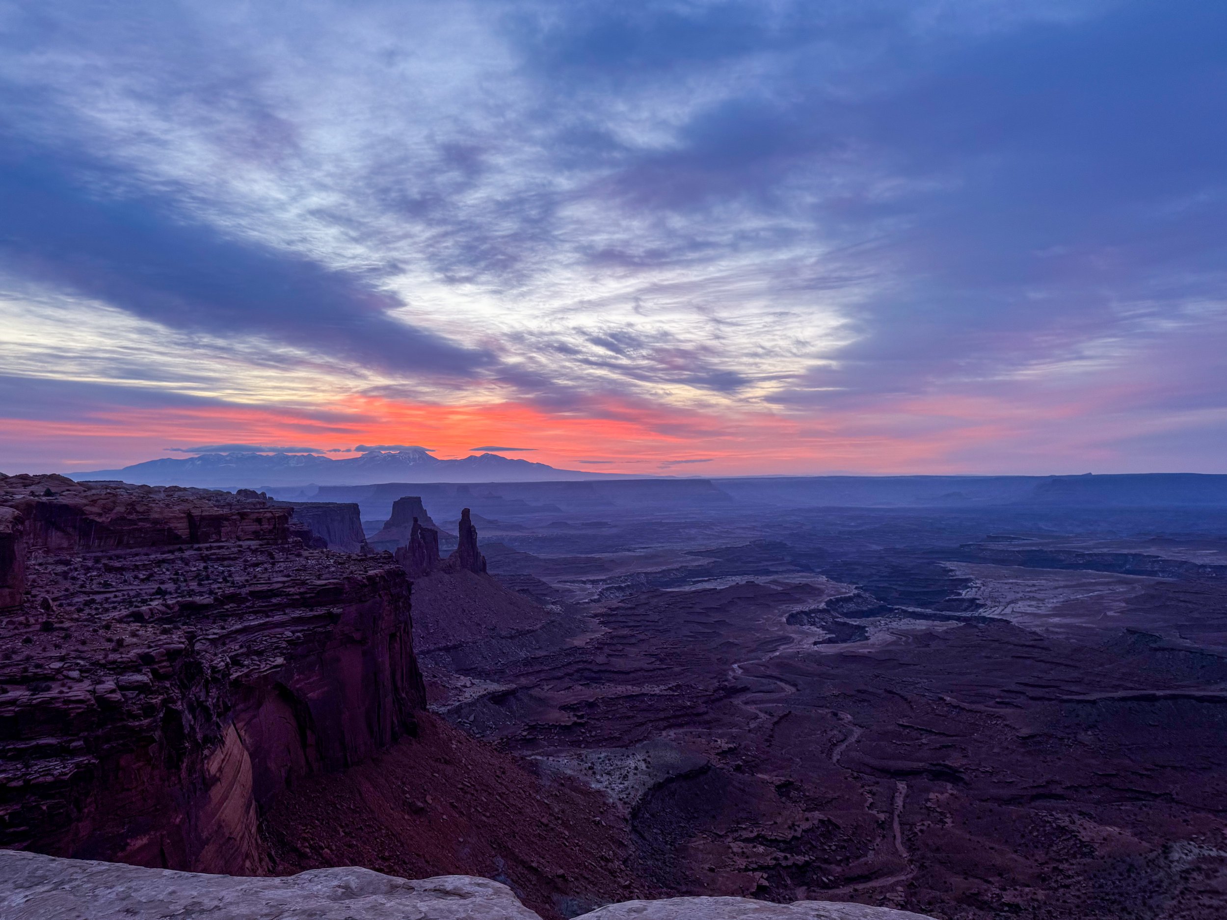
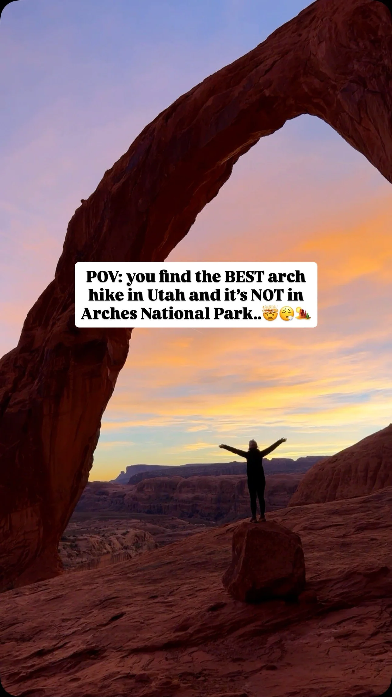
Sunrise at Mesa Arch in Canyonlands National Park
As a disclaimer : this blog post may contain affiliate links. This means we get a small commission if you purchase through the links - no extra cost to you! This is one way we can keep producing free guides to help you with your travels!
Hiking Tips for Canyonlands National Park
Enter the park EARLY. This is not only helpful to avoid warm temperatures but it also helps avoid the crowds.
Pack more water than you think you need. Hiking in the desert sun can dehydrate you quickly. It is recommended each person carries one liter per 4-5 miles hiked.
Use electrolytes to maximize hydration.
Dress in clothing that protects you from the sun. We love wearing UPF long sleeve shirts and wide brimmed hats when hiking in the desert along with sunscreen.
Pack and dress in layers when visiting in the winter. The mornings and evenings can be very cold and often windy.
Cell service can be hit or miss in the park. We recommend hiking with a reliable SOS device, especially if you plan to hike longer trails. Also, be sure to download offline trail maps before entering the park.
Always stay on the trail! This protects the fragile desert ecosystems by not trampling cryptobiotic soil.
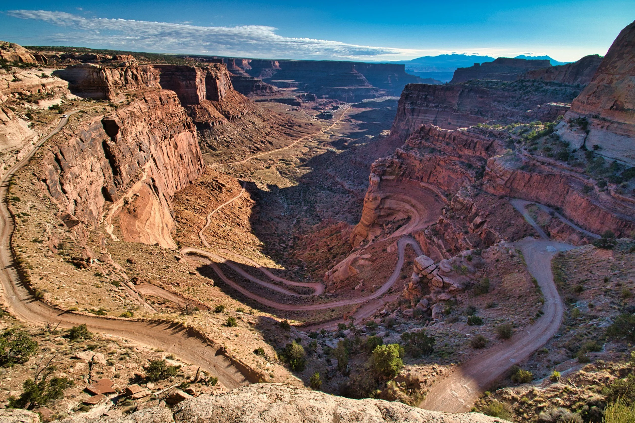
Shafer Road in Canyonlands National Park
What to Wear in Canyonlands National Park
The weather in Canyonlands National Park can vary greatly depending on the time of year you visit. In the summer months, temperatures can reach 100 degrees or more and in the winter months, temperatures can drop below freezing.
If you visit in the winter, layers are key:
Waterproof rain shell (pro tip: wear a bright shell, pink or blue, to stand out in photos)
If you visit in the warmer months, sun protection is key:
Other hiking gear you may need includes:
Microspikes (if you visit in the winter)
Headlamp (for sunrise or sunset hikes)
Pro tip:
Stop by the Island in the Sky visitor’s center on your first day to check on trail conditions and learn more about the park before exploring.
Top 10 Hikes in Canyonlands National Park
Here are the Top 10 Hikes in Canyonlands National Park! Each trail name is hyperlinked to AllTrails so you can quickly access the trail details and download offline trail maps for your next trip.
1. Mesa Arch Trail
Distance: 0.6 miles round trip
Location: Island in the Sky District
Elevation Gain: ~50 feet
Duration: 20–30 minutes
Difficulty: Easy
Description: A short, family-friendly trail to a picturesque arch perched on a cliff edge. Spectacular at sunrise when the underside of the arch glows.

Pro Tip:
This is the most iconic sunrise hike in the park but it is SWAMPED with photographers so you cannot see the view. We suggest going a half hour to an hour after sunrise to have some solitude and still get that great golden glow.
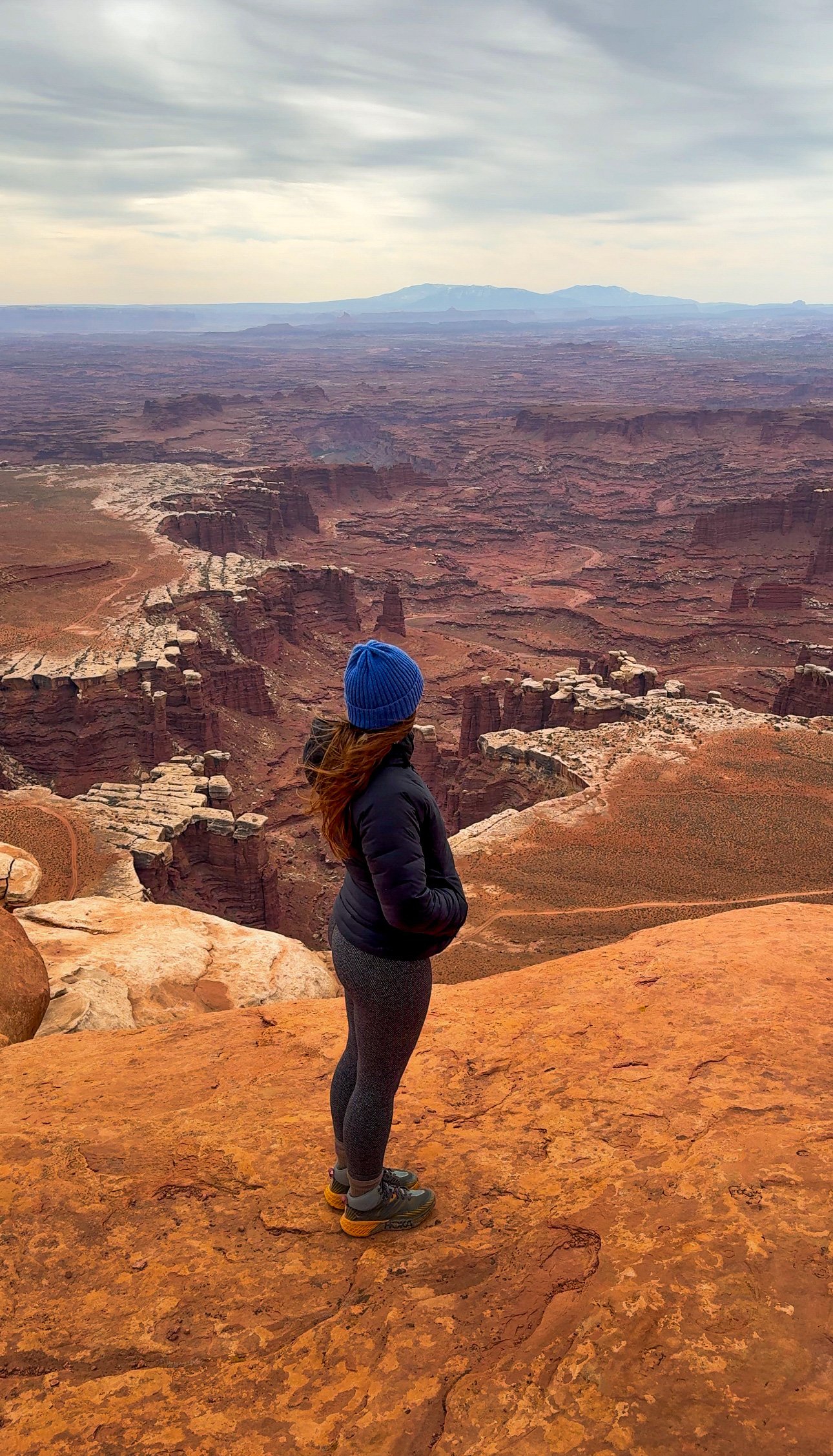
2. Grand View Point Trail
Distance: 2 miles round trip
Location: Island in the Sky District
Elevation Gain: ~150 feet
Duration: 1–1.5 hours
Difficulty: Easy to moderate
Description: This hike follows the rim of the mesa, ending in a stunning panoramic view of Monument Basin and The Needles in the distance.
Pro tip: Visit at sunset for an insane golden glow over the canyon.
3. Upheaval Dome Trail (to second overlook)
Distance: 1.8 miles round trip
Location: Island in the Sky District
Elevation Gain: ~300 feet
Duration: 1–1.5 hours
Difficulty: Moderate
Description: Leads to two overlooks of a mysterious crater-like formation, thought to be the result of a meteor impact or salt dome uplift.
Pro tip: Wear sturdy shoes, the rock on this trail can be a bit smooth and slick in spots.
4. White Rim Overlook Trail
Distance: 1.8 miles round trip
Location: Island in the Sky District
Elevation Gain: ~160 feet
Duration: 1–1.5 hours
Difficulty: Easy
Description: A less-visited trail offering a quieter spot to enjoy stunning views of the White Rim Road and La Sal Mountains.
Pro tip:
If Grand View Point is too busy at sunset, this is a great alternative nearby.
5. Gooseberry Trail
Distance: 5.4 miles round trip
Location: Island in the Sky District
Elevation Gain: ~1,500 feet
Duration: 3–4 hours
Difficulty: Strenuous
Description: One of the steepest trails in the park, this hike descends from the mesa top to the White Rim level.
Pro tip: Start early and pack a lot of water per person! If you do not download offline maps, cairns are on the trail for route finding if needed. Trekking poles can help with the steep descent.
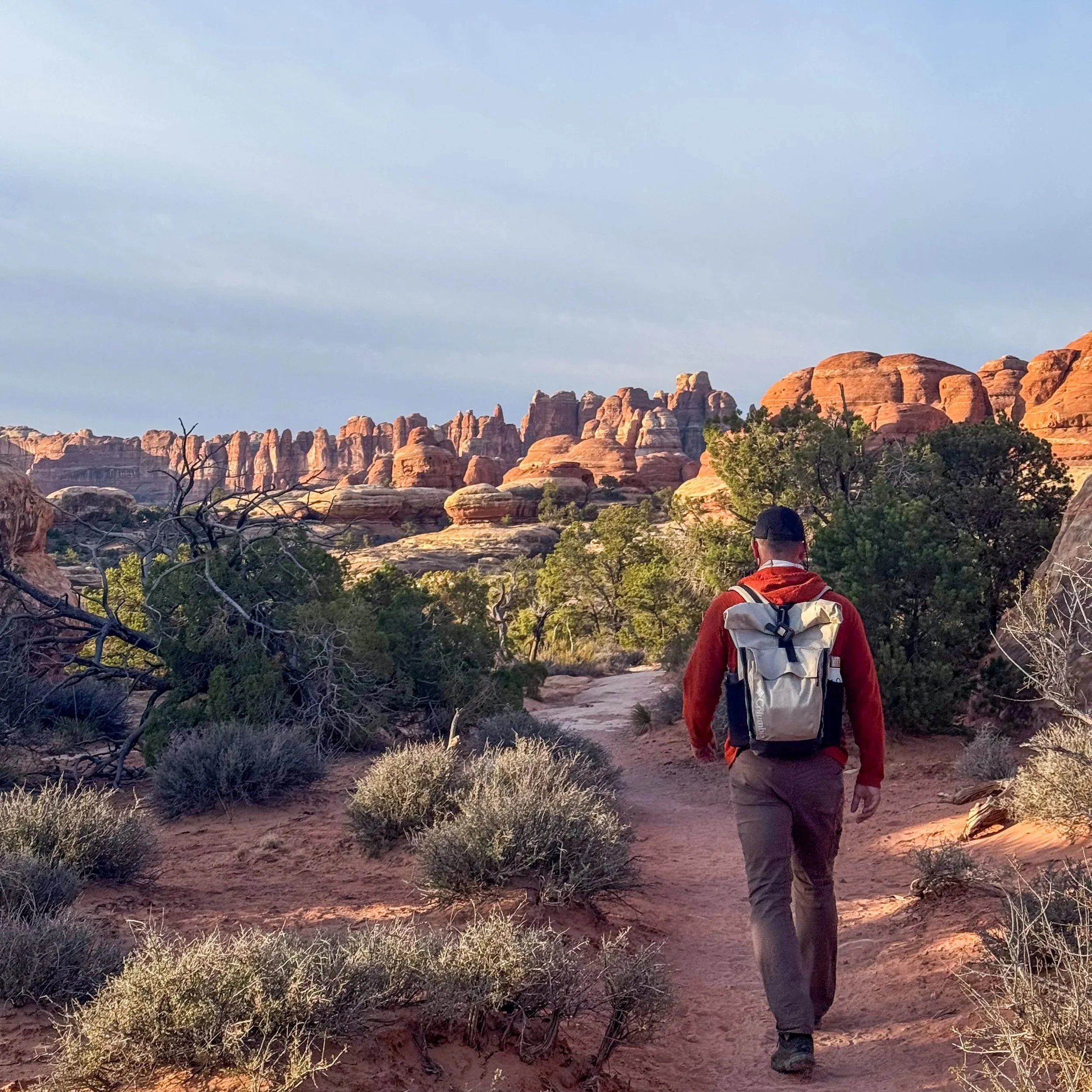
6. Chesler Park Loop Trail
Distance: 10.4 miles loop
Location: The Needles District
Elevation Gain: ~1,600 feet
Duration: 5–7 hours
Difficulty: Strenuous
Description: The premier hike in The Needles - this loop traverses slickrock, slot canyons, and meadows, with jaw-dropping views of colorful spires and rock formations.
Pro tip: Download offline maps to help you stay on this trail - there are a few trails in this area and it is easy to get on the wrong one.
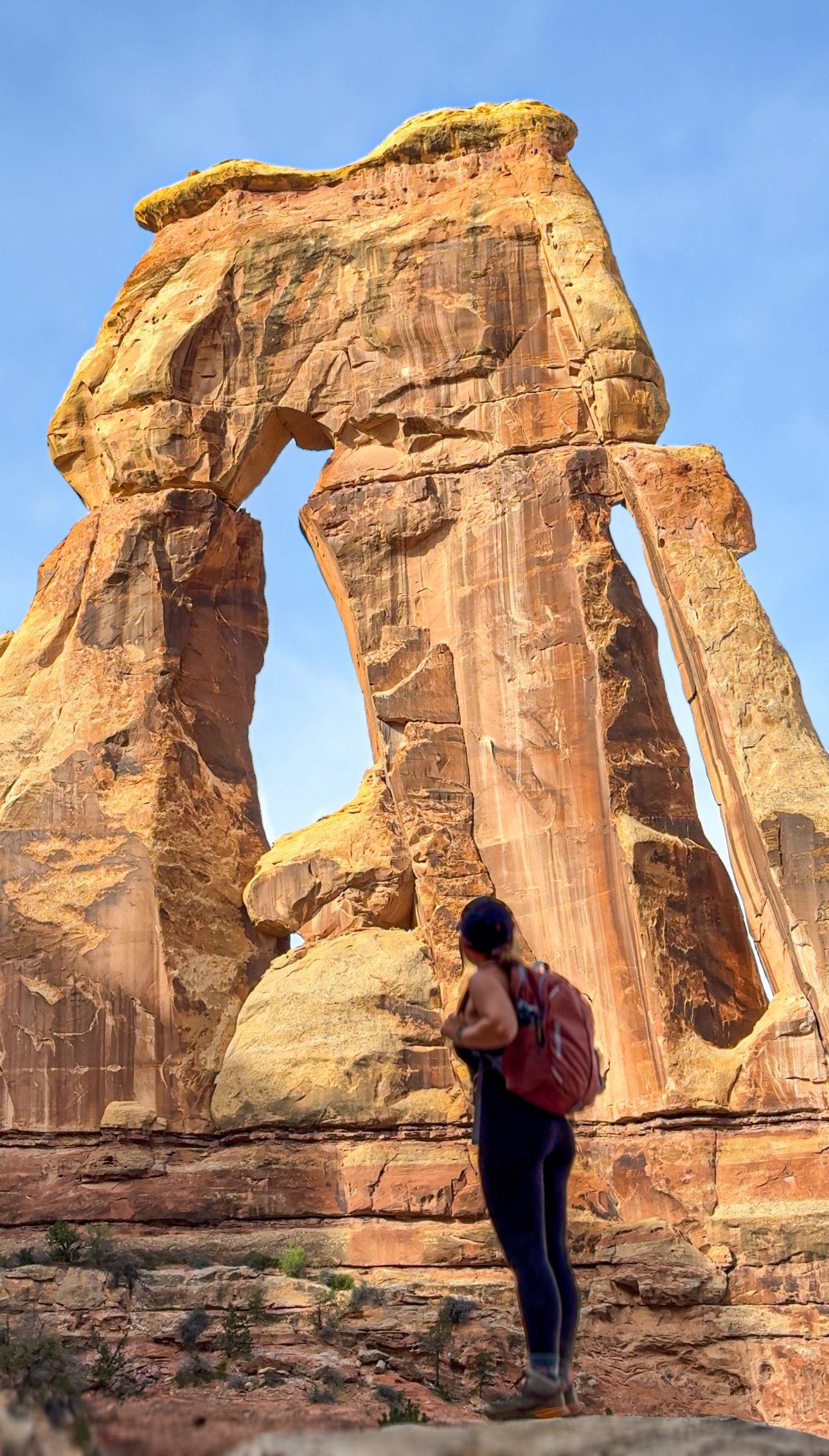
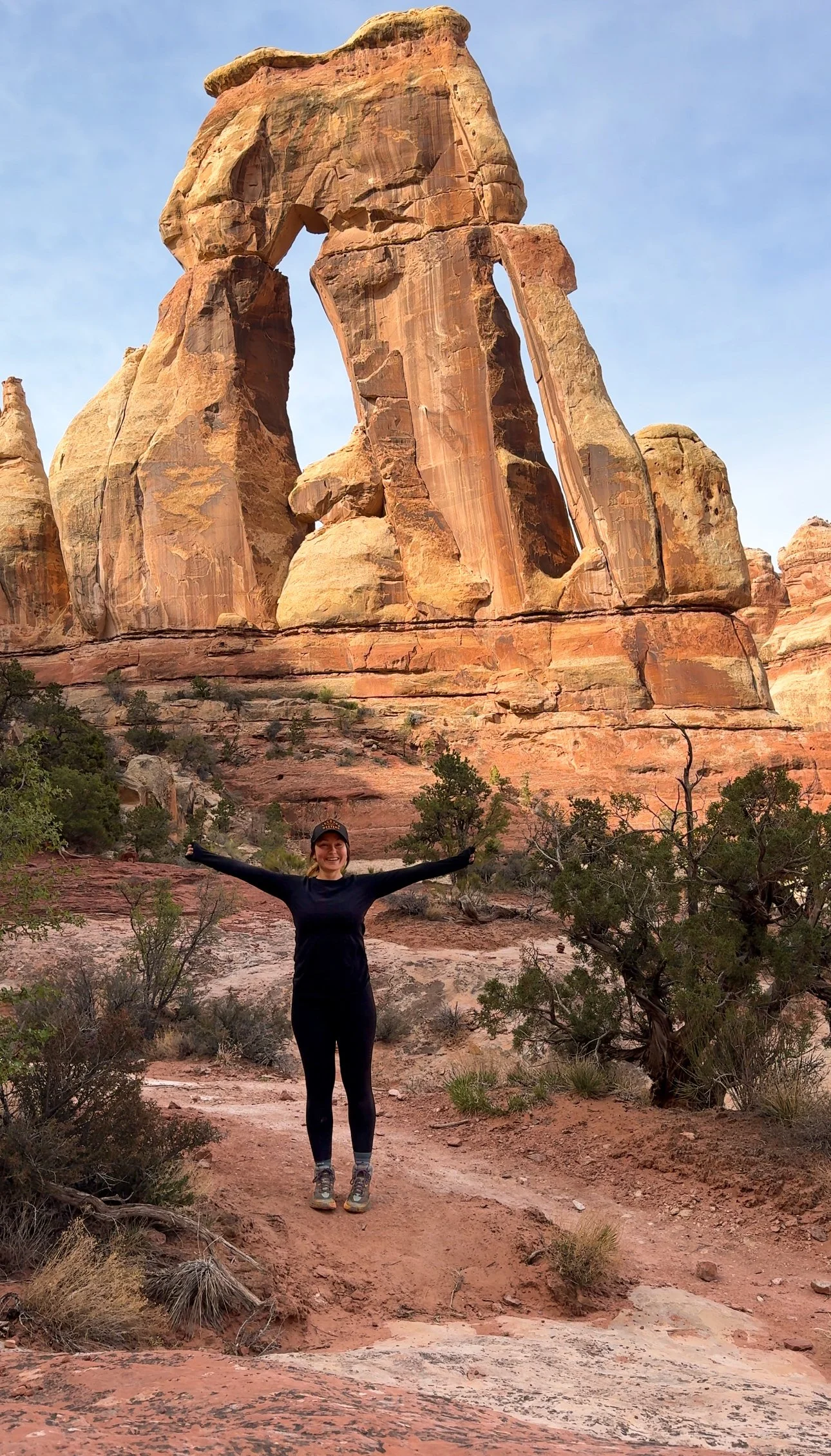
7. Druid Arch Trail
Distance: 10 miles round trip
Location: The Needles District
Elevation Gain: ~1,800 feet
Duration: 6–7 hours
Difficulty: Strenuous
Description: Probably our favorite hike in Canyonlands! This is a long but rewarding hike through Elephant Canyon, ending at one of Utah’s most impressive and unusual arches.
Pro tip:
Part of the trail is through a sandy wash, wear supportive footwear. There is also a scramble up steep rock towards the end, make sure you are comfortable with that before choosing this hike.
8. Salt Flat and Big Spring Canyon Loop
Distance: 7 mile loop
Location: The Needles District
Elevation Gain: ~700 feet
Duration: 3–4 hours
Difficulty: Moderate
Description: A fantastic loop through lush canyons and open desert, crossing slickrock and narrow passes. This is a great, lesser-known hike if you want to escape any crowds.
Pro tip: Have an offline map downloaded for this one or be comfortable following cairns.
9. Slickrock Foot Trail
Distance: 2.4 miles loop
Location: The Needles District
Elevation Gain: ~150 feet
Duration: 1–2 hours
Difficulty: Easy to moderate
Description: This trail offers numerous scenic overlooks of canyons and rock formations, with interpretive signs explaining the geology. This is one of the only short trails offered in The Needles district.
Pro tip: Avoid this trail if there was recent rain, the trail is mostly across sandstone and it can be slick.
10. Cave Spring Trail
Distance: 0.6 miles loop
Location: The Needles District
Elevation Gain: ~50 feet
Duration: 30-45 minutes
Difficulty: Easy
Description: A short loop with historic cowboy camps, prehistoric pictographs, and ladders leading to elevated slickrock views.
A glimpse at the Needles in The Needles District
Final Thoughts:
Canyonlands National Park is a world of extremes—between the high mesa vistas of Island in the Sky and the deep canyon mazes of The Needles. The hiking trails reflect this diversity, offering everything from quick scenic strolls to full-day treks into wild, remote terrain.
Planning ahead, especially for The Needles, where services are minimal, is key. Bring plenty of water, sturdy footwear, and a sense of awe for one of America’s most underrated hiking destinations.
For more adventures, check out the neighboring park to Canyonlands - Arches National Park!
Follow Our Socials: